

T08
Boomo Level – Survey cut and fill
Compare supplied existing and design elevations on complete rectangular survey grids. Name regions and phases, preserve the coordinate reference, and keep cut and fill separate rather than hiding both in a single net quantity.
Attachment Warehouse · Optional
Attachments for this job
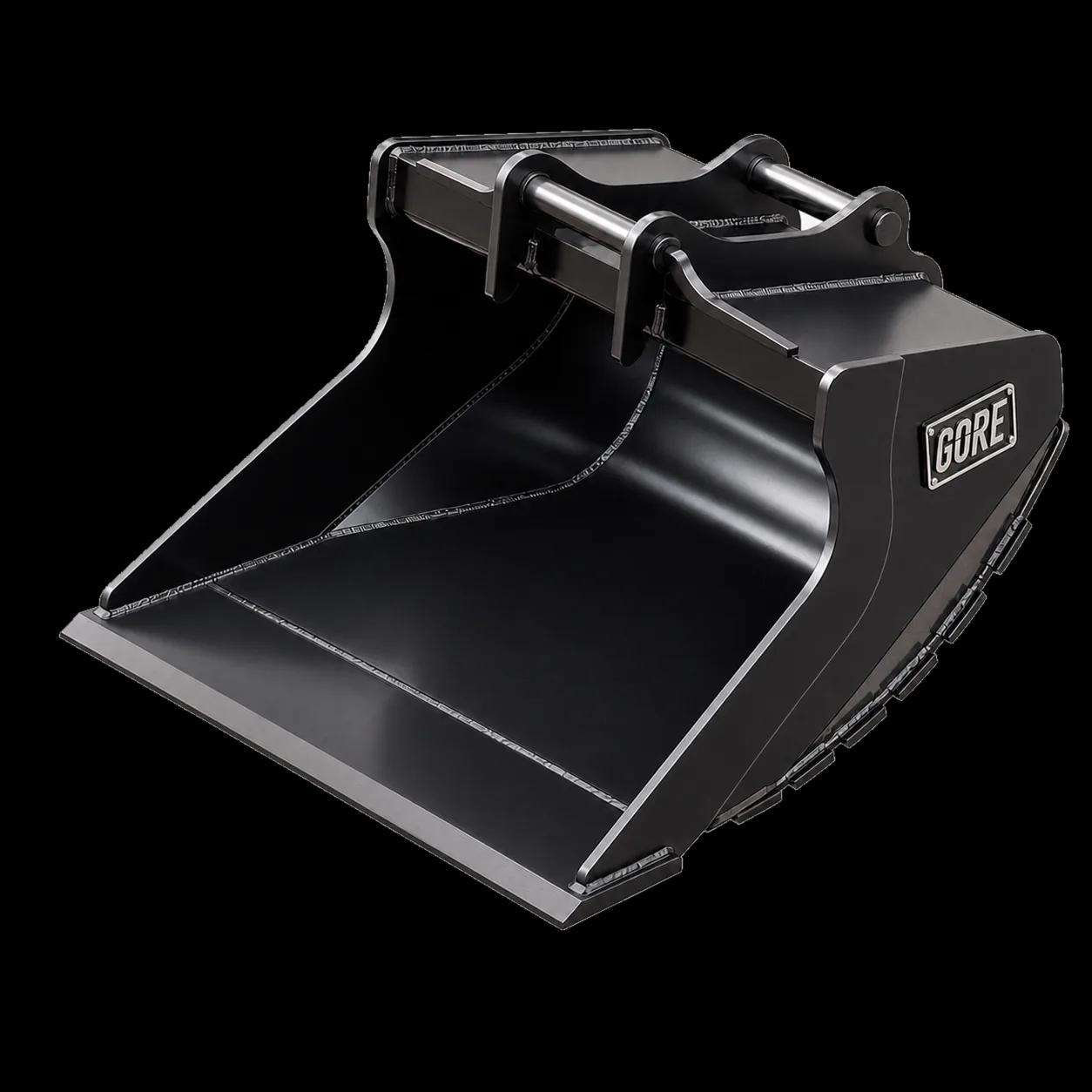
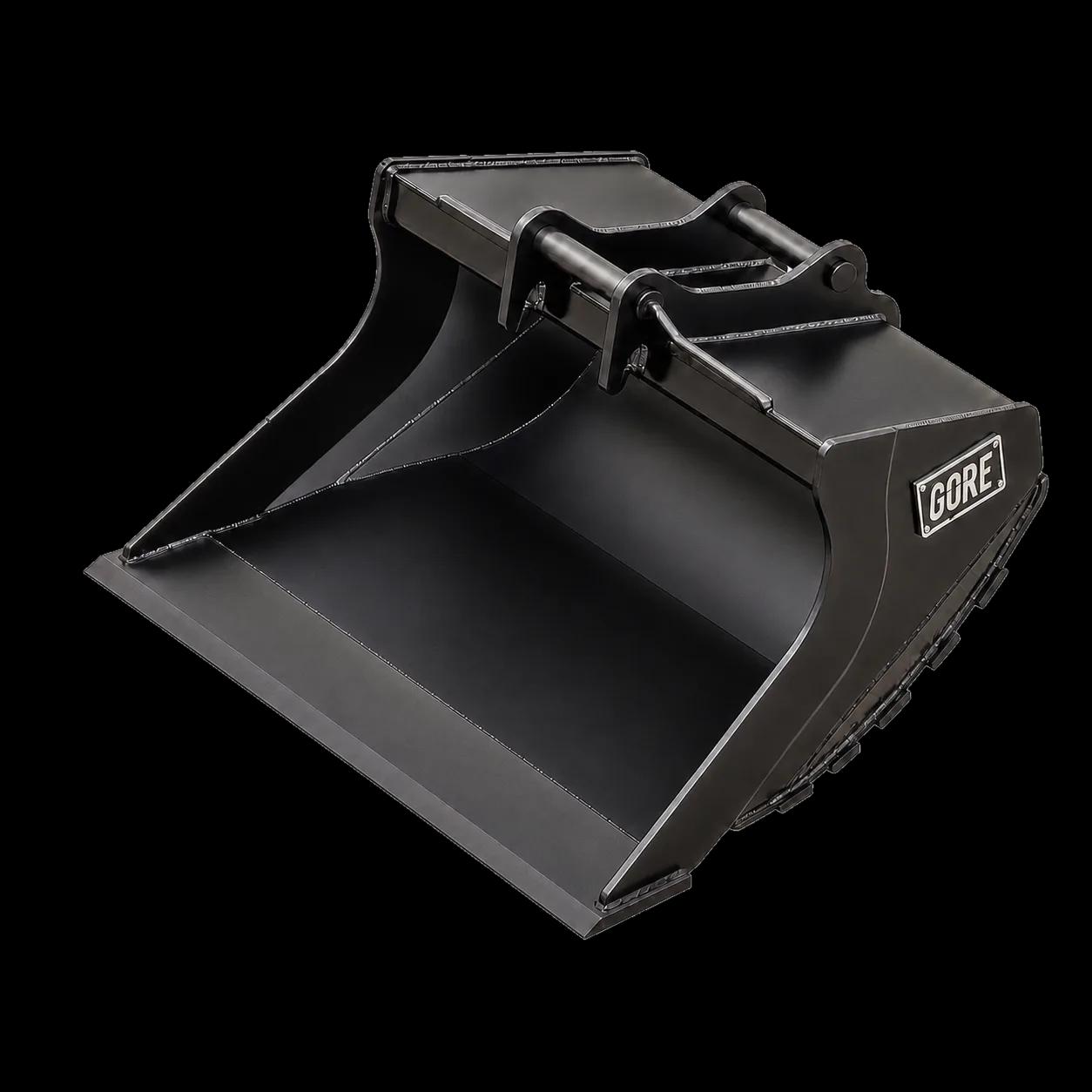
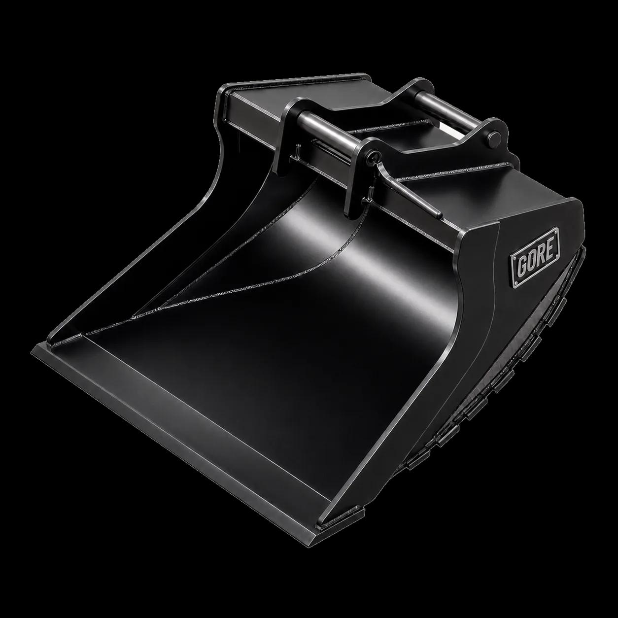
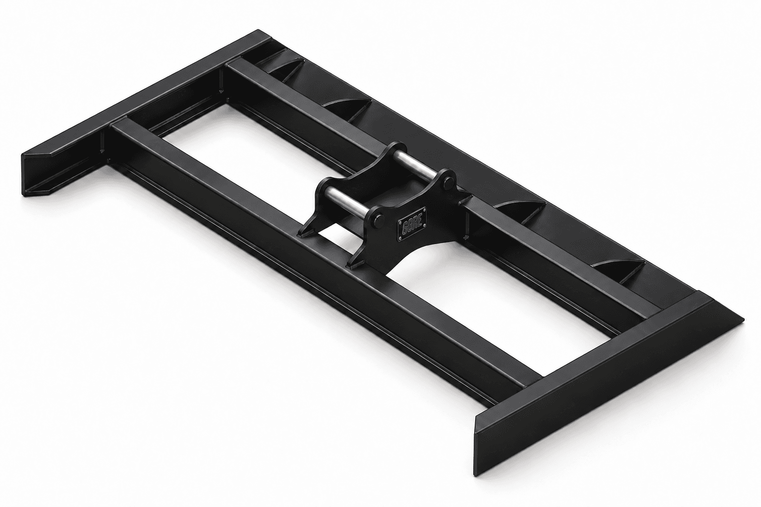
Finishing to design levels uses wide, smooth-edged grading buckets or a grading beam, which level soil, gravel and sand.
How it works
- 01
Prepare CSV columns x,y,existing,design with dot-decimal numbers. State one coordinate/elevation unit, datum and coordinate reference for the workspace.
- 02
Each region must contain every intersection of its X and Y coordinates. Name the regions; overlapping interiors within a phase are rejected, while shared edges are allowed.
- 03
Review region sections and phase totals. Compare phases only on matching region identities, XY grids and existing baseline elevations.
Formula
Each rectangular cell is divided along SW–NE into two linear triangles. Clip the design-minus-existing difference at zero.
Triangle volume = area × mean vertex difference. Positive parts give fill, negative parts give cut; phases are never added together.
Load labelled example
Across a 1 × 1 m region, design-minus-existing rises linearly from −1 m to +1 m. The exact declared triangular model gives 0.25 m³ cut and 0.25 m³ fill, although the net is zero.